

Drone Mapping
Advanced UAV surveying, mapping, and 3D modelling that delivers accurate, reliable, and high-resolution insights for construction, engineering, and land development.
Precision Data From the Sky Down
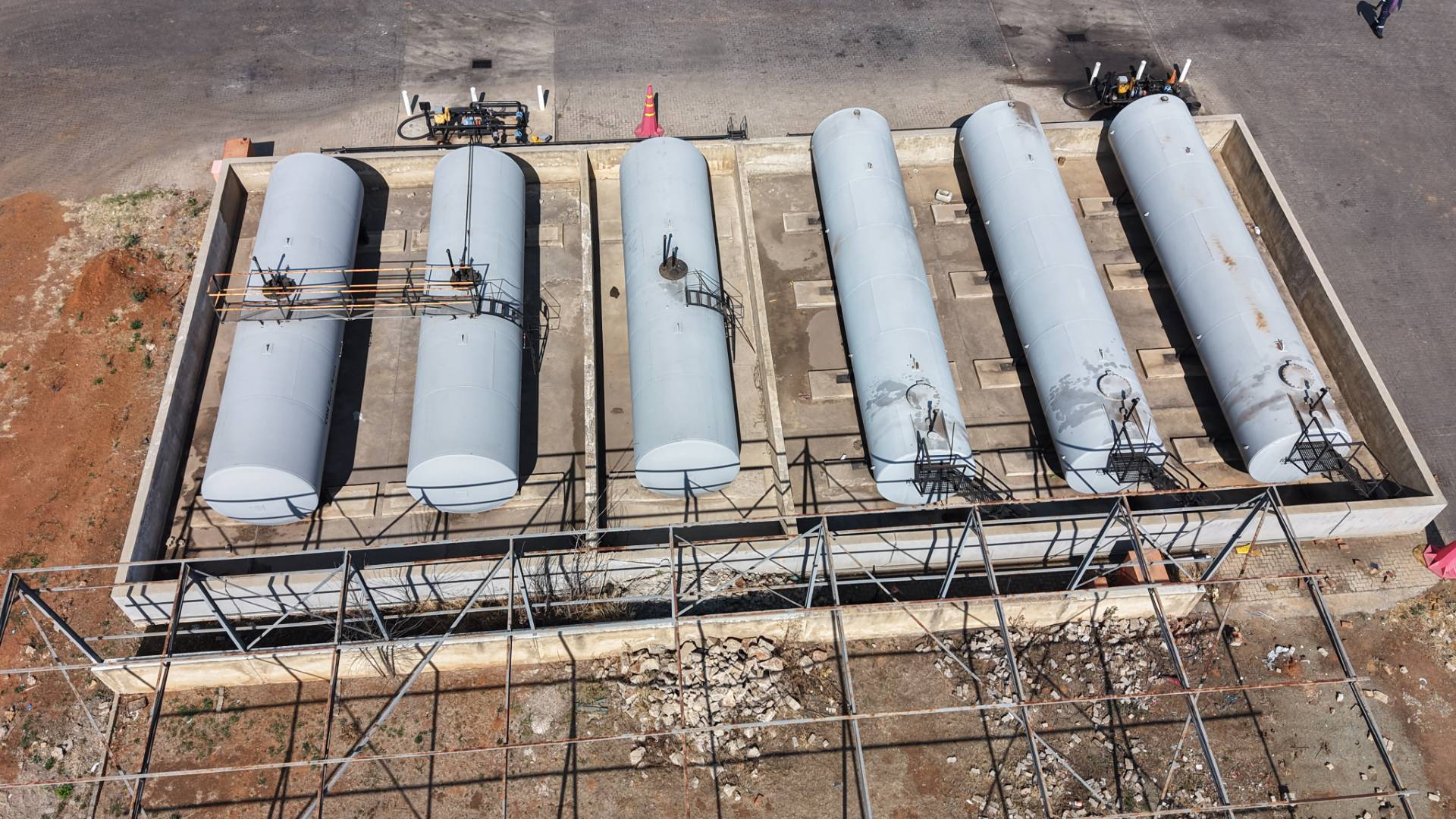
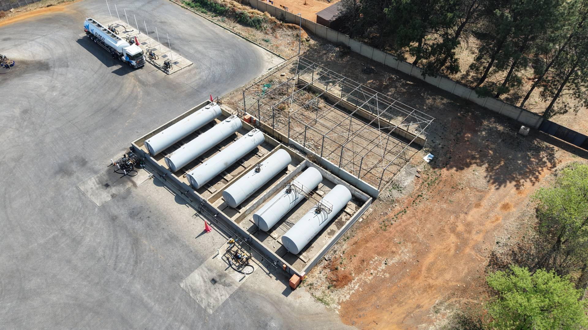
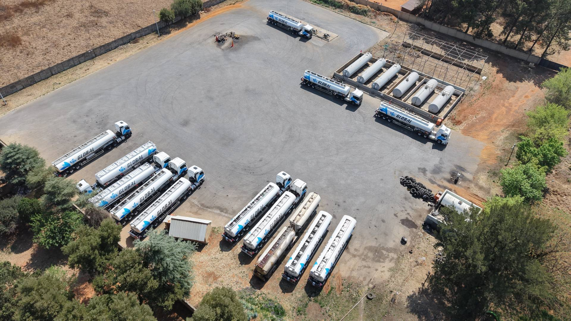
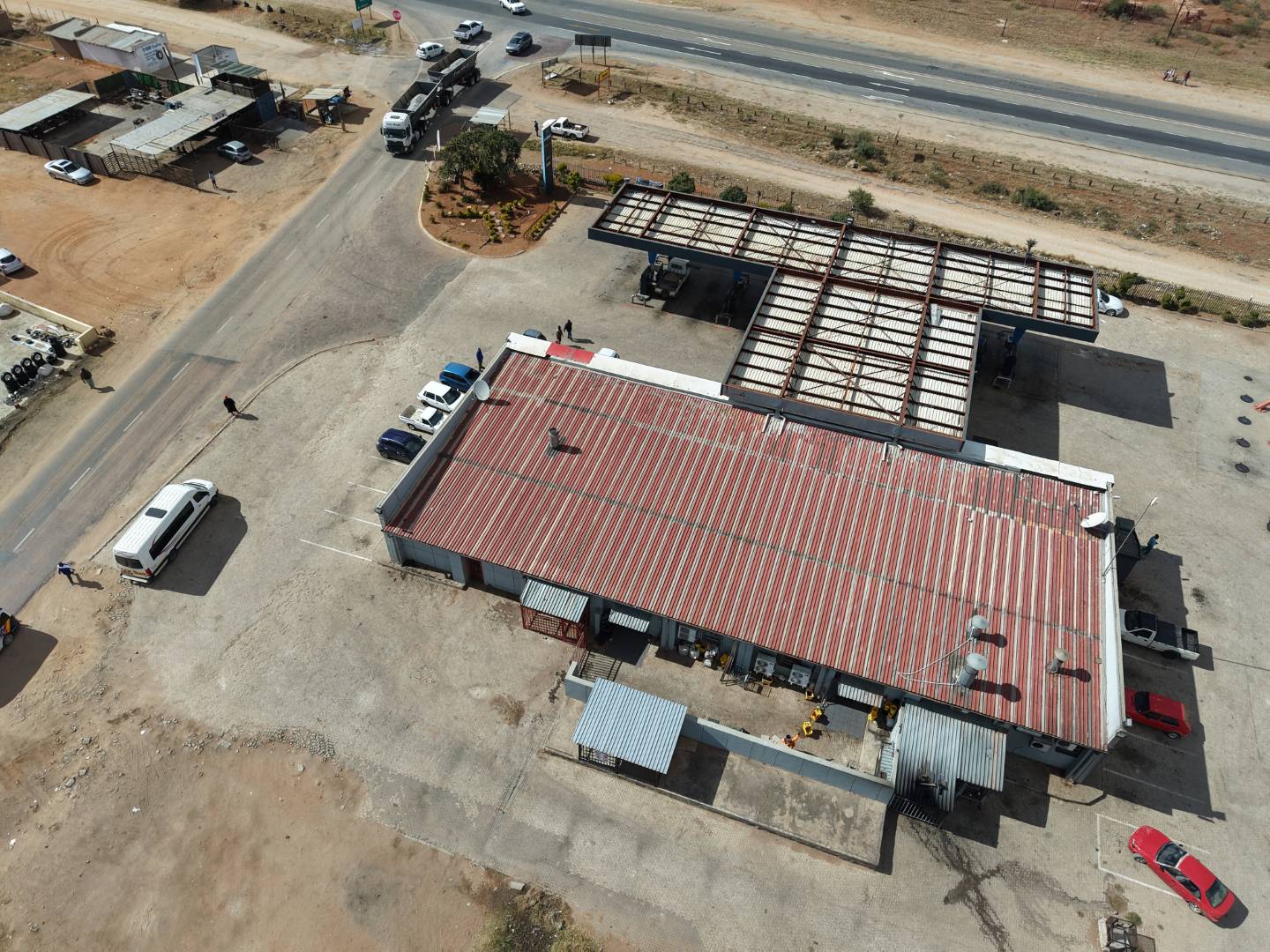
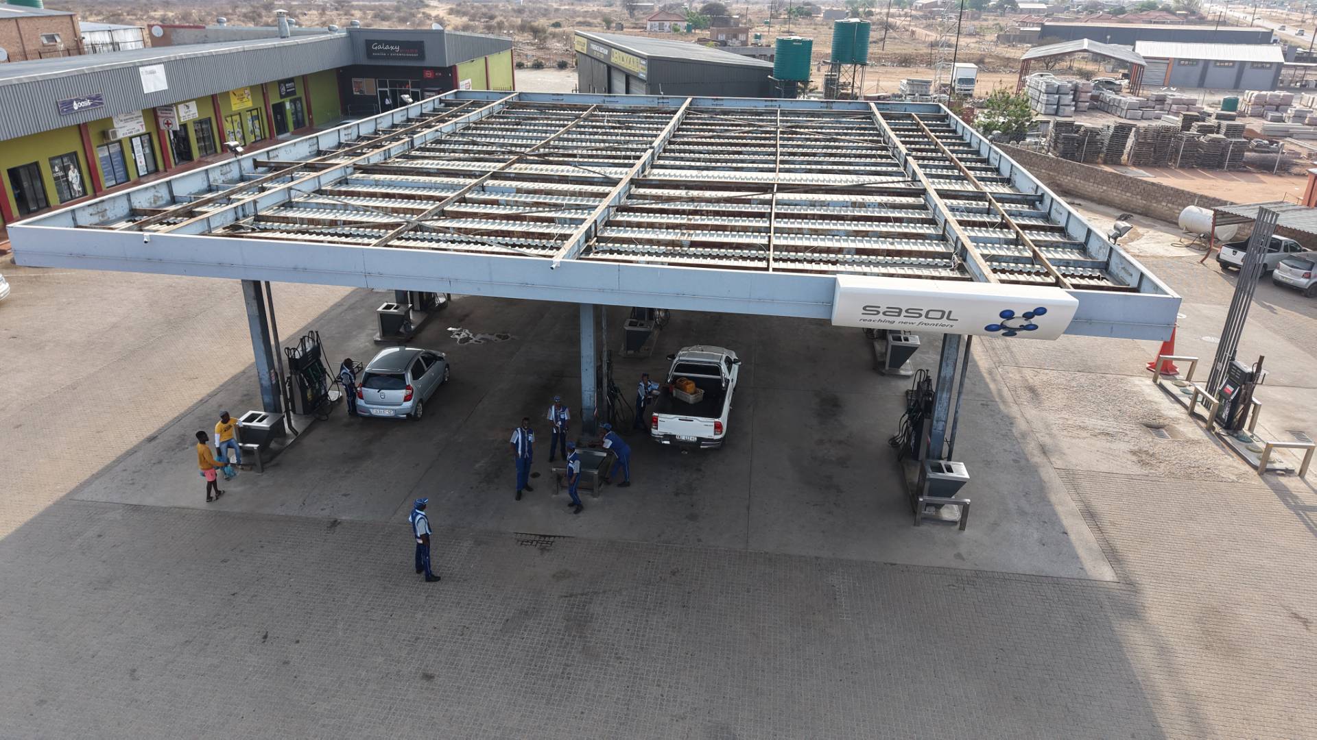
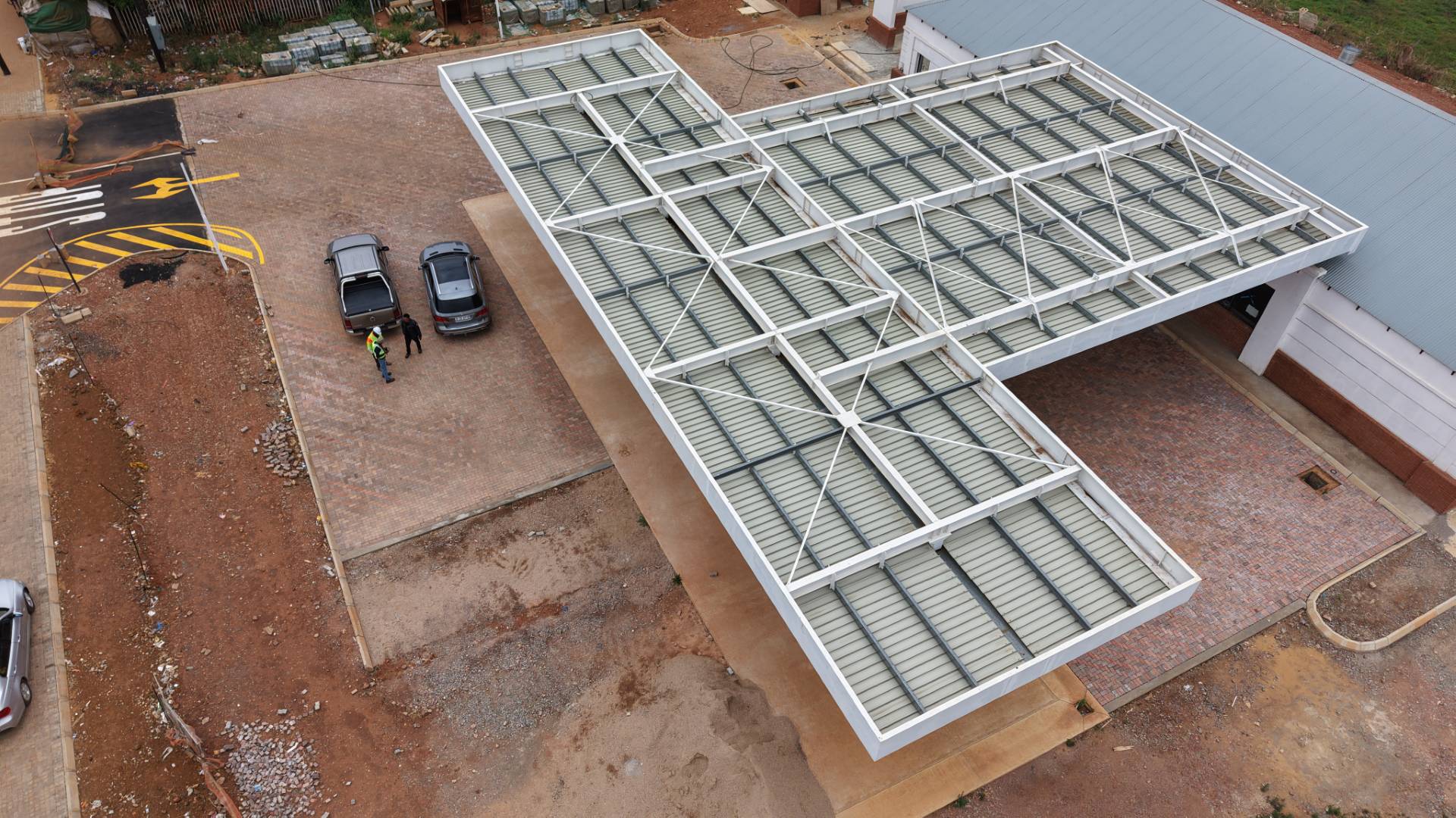
Our Drone Mapping division provides cutting-edge aerial surveying, photogrammetry, 3D modelling, and geospatial data services designed to support informed decision-making across construction, engineering, mining, environmental, and property development sectors. Using advanced UAV technology and industry-leading software, we capture high-accuracy data that enhances planning efficiency, reduces risk, and improves project intelligence.
We deliver detailed orthophotos, topographical mapping, point clouds, DEMs, volume calculations, inspection data, and precise georeferenced outputs—ensuring every project benefits from fast turnaround times, exceptional accuracy, and reliable spatial information. Whether you need site inspections, stockpile measurements, corridor mapping, or full 3D terrain reconstruction, our drone services provide the clarity and confidence needed to plan, design, and build with precision.